hashtag sailwind hashtag boats hashtag mental illness

It's time to make our first ocean crossing. We've plied to calm seas of the Aestrin archipelago enough to afford all of the fancy navigation equipment needed. It's big boy time.

Our first voyage will take us from Fort Aestrin to Happy Bay.
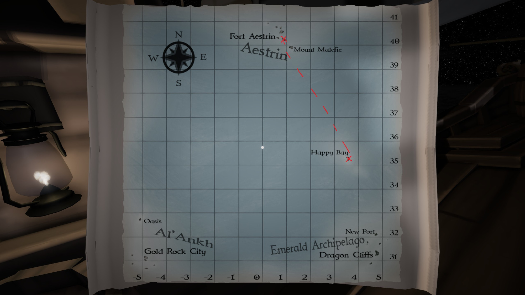
a sea chart showing a few different archipelagoes, and longitude and latitude lines.

Replies

  1. On the open ocean, there are no visible landmarks to tell you where you are. Instead, you'll need to use the sun and stars and a rudimentary understanding astronomy to chart your longitude and latitude.

    Latitude is fairly simple to wrap your head around, and there are a few methods to figure it.

    1