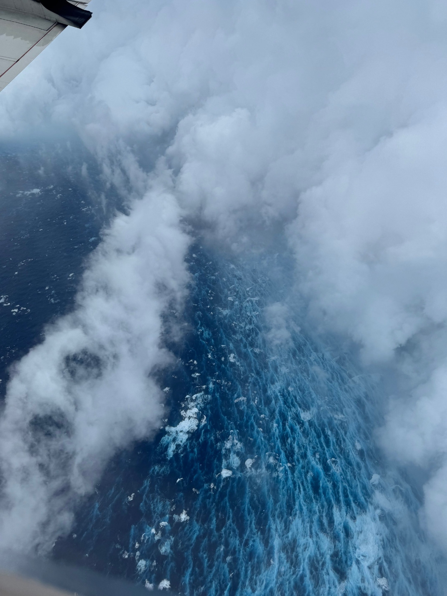
📸August 16: Images from the NOAA Hurricane Hunter and our NOAA Satellites Ocean Winds team show an intense eyewall in Hurricane #Erin This photo shows the ocean surface calm in the eye and roaring in the eyewall. For the latest forecast visit hurricanes.gov
National Weather Service
@nws.noaa.gov
47429 Followers
3 Following
Official Bluesky account for NOAA's National Weather Service.
Statistics
7 Days
Likes
2604
Replies
69
Reposts
690
Quotes
102
Top 7 Day Skeets (Avg.)
Likes
194.8
Replies
5.4
Reposts
57.4
Quotes
10.2
Top Skeets
11am EDT Mon Aug 11th - Tropical Storm #Erin has formed in the far eastern tropical Atlantic just west of the Cabo Verde Islands.
Maximum sustained winds are 45 mph & intensification is forecast as it moves westward across the open tropical Atlantic. hurricanes.gov
Hurricane #Erin Advisory 17: Erin Becomes the First Hurricane of the 2025 Season. Expected to Pass Near Or North of the Leeward Islands On Saturday. hurricanes.gov
National Hurricane Center
Forecasters are tracking a number of tropical disturbances in the Atlantic and Pacific, and it's important you stay ready with hurricane season ramping up. Meet Commander Kevin Doremus, who flies into storms with the NOAA, P-3 Orion Hurricane Hunter. His team has a plan - do you? #HurricanePrep
It's still too early to determine what impacts Erin may bring to the northern Leeward Islands, Bermuda, or the east coast of the U.S. As we approach the climatological peak of the hurricane season, this is a great time to put your preparedness plans into place. hurricanes.gov for the latest.